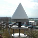
PAVI – GNSS permanent station
The Laboratory of Geomatics has been operating such a GNSS permanent station since 1999. which is called PAVI (due to international standards, names must be have four letters).
A permanent station is a GPS/GNSS receiver shich works 24h/365, observes the satellite constallations and store the received data. The acquired data are freerly available for surveyors and researchers.
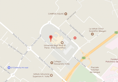
Location and coordinates
WGS84 – ETRF2000
- Latitude: 45° 12′ 10.73200″ N
- Longitude: 09° 08′ 10.10416″ E
- Ellipsoidal height: 143.626 m
UTM 32N, WGS84 – ETRF2000
- East: 501691.965 m
- North: 5005508.445 m
- Ellipsoidal height: 143.626 m
- Geoidic height: 102.648 m
PAVI is part of two very important GNSS networks:
- RDN (Rete Dinamica Nazionale) which represents (embodies) the geodetic frame in Italy. More information can be found on official website (RDN website – Italian only).
- the Piedemont-Lombardy GNSS network, supplying the so-called NRTK corrections, allowing professional surveyors to quickly perform high-quality measurements.More information can be found on the official website (www.spingnss.it).
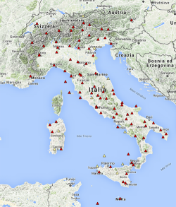
- RDN network
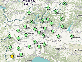
- Piedemont-Lombardy network
Monumentation
Officially, PAVI started to observe GPS contallation in novembre 11th 1999 and during last years several receivers and antennas had been changed.
Now PAVI is equipped with a TopCon TPS NET-G5 receiver and a TPSCR3 antenna. For more information about PAVI’s history please download the LOG file (“Log_file_PAVI.txt“).
PAVI’s antenna through the years
- Trimble D/M chock ring
- Trimble Zephyr Geodetic
- Leica D/M chock ring
- TopCon TPSCR3
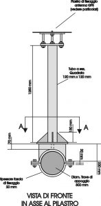
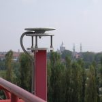
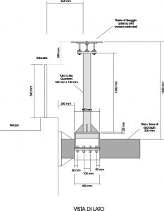 PAVI’s antenna was anchored to a structural part of the main university building.
The images show two section: on the left the front view (in axis with the anchor pillar) and on the right the side view.

